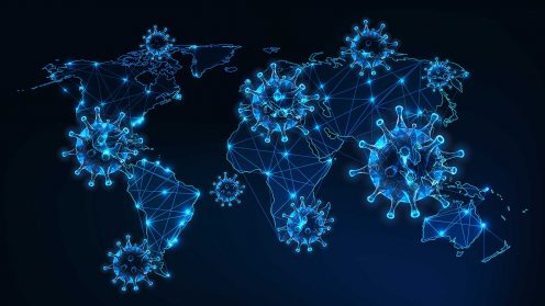
Location intelligence is about more than maps. In addition to tracking new coronavirus cases, authorities are also providing more granular data to help us navigate the pandemic.

Location intelligence is about more than maps. In addition to tracking new coronavirus cases, authorities are also providing more granular data to help us navigate the pandemic.

Using reality capture to create imaginative worlds that connect with audiences in intimate ways never before possible.

How reality capture with 3D technology helps historical preservation efforts.

With customers controlling 90% of flights worldwide, Frequentis AG is putting data to work to guarantee safe operations for air traffic controllers worldwide.

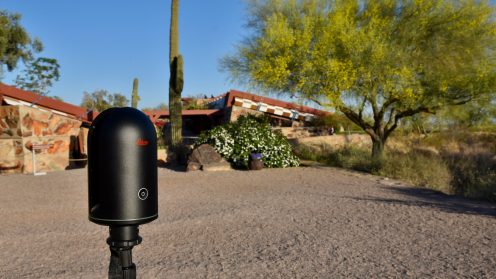
In honor of Mr. Wright’s 153rd birthday, we celebrate his legacy through an immersive tour brought to life by 3D image scanning technology.

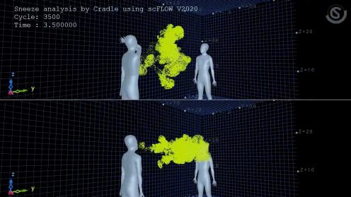
In response to the ongoing crisis, a team at Hexagon | MSC Software created several simulations that underscore the value of following guidance for social distancing and protective coverings.