![[PODCAST]: Shaping Smart Cities](https://blog.hexagon.com/wp-content/uploads/2016/03/artworks-000152876252-nte5h4-t500x500-496x279.jpg)
HxGN RadioPodcast
[PODCAST]: Shaping Smart Cities
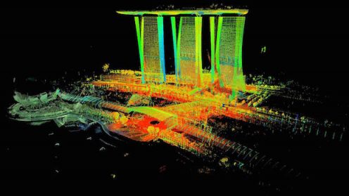
With the developing demand for airborne 3D imaging in smart city planning, Hexagon Geosystems is meeting that need with Real City modelling software.
![[PODCAST]: Shaping Smart Cities](https://blog.hexagon.com/wp-content/uploads/2016/03/artworks-000152876252-nte5h4-t500x500-496x279.jpg)
With the developing demand for airborne 3D imaging in smart city planning, Hexagon Geosystems is meeting that need with Real City modelling software.

In his keynote address, Hexagon Geosystems President Juergen Dold will address how geospatial technology is…
With consumer expectations continuing to create demand, quality control has become increasingly important to manufacturers,…

Our senses capture our experiences, providing form and shaping the elements of our environment through…

More than 50 per cent of the world’s population now lives in cities. With this…

With rising populations, nations are constantly faced with increasing pressure on infrastructure along with socio-economic…