


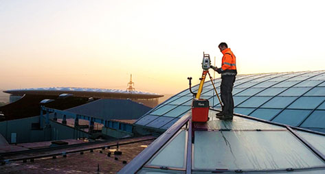




See how Leica’s DSX utility detection solution is adding efficiency and digitalising workflows. Unlike any other GPR, the DSX utility maximises productivity with edge software that automates data analysis and generates a 3D utility map on the field.
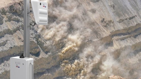
Rockfall in open-pit mines is the most common cause of accidents and death, creating a high demand for monitoring of rockfall and avalanches. This type of monitoring is needed not only in mines, but also in other applications, such as civil protection and public safety. In this episode, Francesco Coppi, Product Manager at IDS GeoRadar, explains how the RockSpot radar system can locate, track, and alert on rockfalls up to 2 kilometres, avalanches, and other fast-moving events, such as mud and debris flow.
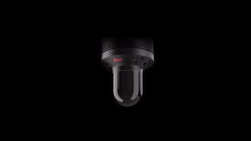
The Leica BLK247 is a reality capture sensor that detects changes within 3D environments and provides real-time situational awareness through edge computing and LiDAR-enabled change detection technology. Designed to be installed for continuous 24/7 reality capture, the Leica BLK247 detects the movement and placement of specific objects within 3D environments.
The use of Ground Penetrating Radar (GPR) technology has been limited to highly skilled professionals trained on interpreting radargrams. The new Leica DSX utility detection solution is changing this by bringing GPR technology to less experienced users. Agata Fischer, Business Director of Detection and Services at Leica Geosystems, explains how this technology is boosting efficiency, as well as digitalising workflows for mapping and utility location.
Censeo is ensuring the insurance industry with less invasive inspections.
In this podcast, we talk to Mladen Stojic, President of Hexagon’s Geospatial Division, Tammer Olibah,…