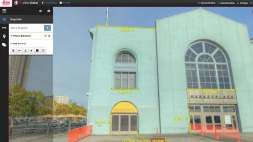
We will be exploring how Leica Geosystems‘ solutions within the laser scanning portfolio are driving workflows in a more collaborative and easy way by simplifying, accessing, and sharing point cloud data from anywhere.

We will be exploring how Leica Geosystems‘ solutions within the laser scanning portfolio are driving workflows in a more collaborative and easy way by simplifying, accessing, and sharing point cloud data from anywhere.

Governments use data for decision making and to monitor policy implementations. With the drive to create smarter nations through Smart Cities initiatives, it is imperative for policy makers, managers and executors alike to make data-driven decisions.

Detecting changes in large areas that are not properly reported can be a tedious and…

The IGNITE competition was designed to spark ideas and concepts in innovators and provide them…

What does it take to become a Smart City? We will talk with experts from…

Smart Cities must do more than collect and process data; they need to understand the…