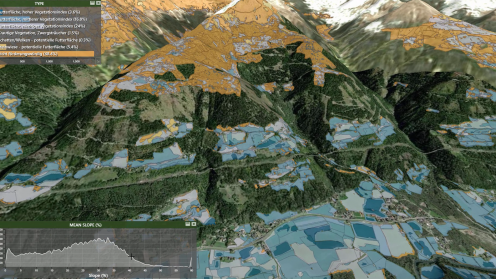
Watch our interview with the Product Line Directors of Hexagon Geospatial’s M.App Portfolio. Find out about the latest innovations from M.App X, M.App Enterprise and Mobile Alert.

Watch our interview with the Product Line Directors of Hexagon Geospatial’s M.App Portfolio. Find out about the latest innovations from M.App X, M.App Enterprise and Mobile Alert.
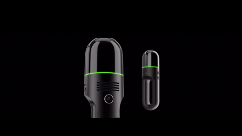
With the Leica BLK2GO handheld imaging laser scanner, users will experience newfound mobility when scanning complex indoor environments. It’s completely mobile and captures 3D reality in motion!. No longer bound to static scanning positions, the BLK2GO tracks the location and orientation of the scanner in real time to maintain spatial awareness. Product manager, Paula Fortuny Lopez shows how the scanner integrates visual, LiDAR, and edge computing technologies for accurate results.
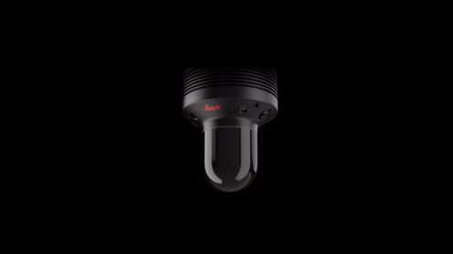
The Leica BLK247 is a reality capture sensor that detects changes within 3D environments and provides real-time situational awareness through edge computing and LiDAR-enabled change detection technology. Designed to be installed for continuous 24/7 reality capture, the Leica BLK247 detects the movement and placement of specific objects within 3D environments.
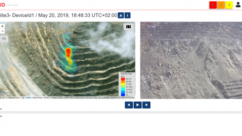
GeoCloud web-based application that can be accessed from everywhere. Optimised for mobile devices, it gives you immediate access to important data on rockfall, avalanche, and debris-flow events. In this session, Francesco Coppi, IDS GeoRadar Product Manager, illustrates how all integrated data and relevant statistics are visualised on a common platform, and how users can set different levels of data access.
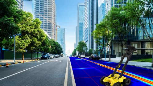
See how Leica’s DSX utility detection solution is adding efficiency and digitalising workflows. Unlike any other GPR, the DSX utility maximises productivity with edge software that automates data analysis and generates a 3D utility map on the field.
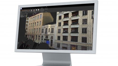
Watch this demo to see how the new Leica Cyclone 3DR laser scanning software harnesses simplified point cloud and high-speed rendering technology with smart automation to execute core workflows in the AEC and surveying fields.