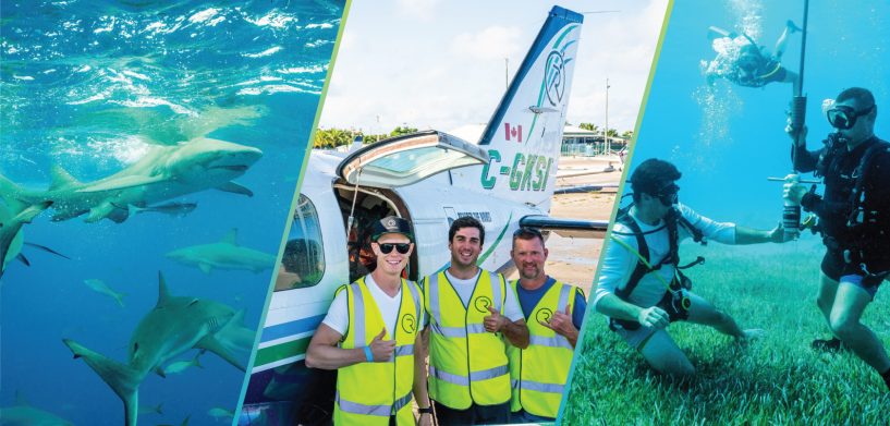
In December 2021, a ground-breaking research expedition was ignited at Grand Bahama Island in the Caribbean. A team of over 20 members worked to combine data collected from divers, sensor-equipped boats, airborne Bathymetric LiDAR from Hexagon — and even sharks. Thanks to this effort, over 1,000 square km of of seabed was mapped with centimetre-level accuracy in 3D.
Seagrass: Only 0.2% of ocean surface — but significant potential for capturing carbon
Seagrass is critical for the marine ecosystem and unique in that it can provide a natural solution to mitigate carbon emissions; in fact, this marine vegetation is said to capture 10-15 times the amount of carbon that tropical rainforests sequester. The seagrass meadows of the Bahamas — in particular — show great potential to play a vital role in global carbon capture.
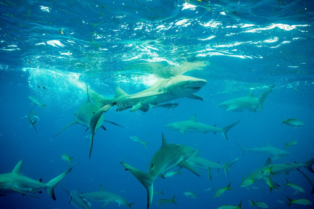
As part of a long-term shark monitoring project to study and protect the oceans, Beneath The Waves — a leading global non-profit organisation dedicated to protecting marine environments — discovered that tiger sharks spend a large portion of their life patrolling and foraging dense seagrass meadows. Using this insight, the organisation leveraged a combination of sensor-tagged sharks, satellite data, marine vessel surveys and scuba divers to drive the ongoing discovery and mapping of the extensive seagrass meadows of the Caribbean.
To protect and restore these blue carbon sinks, however, the findings needed to be validated with high-positional accuracy and datasets that can provide efficient, year-on-year change detection and monitoring. Beneath The Waves teamed up with Hexagon’s R-evolution to map, study and quantify these seagrass meadows and its biodiversity importance at scale.
With everything in place, the first joint expedition started at Grand Bahama West End on Dec. 5, 2021.
Sharks, divers and sensors in action
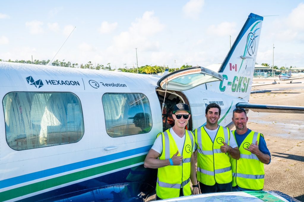
A cross-functional team of researchers, scientists, divers, engineers and air and boat crews kickstarted the research to validate their findings. To capture the data required, Hexagon’s R-evolution deployed a survey aircraft geared with Hexagon’s Leica Chiroptera 4X airborne bathymetric LiDAR sensor to produce high-resolution point clouds and aerial imagery capturing more than 1,000 square kilometres. By leveraging Hexagon’s world-leading bathymetric sensors, the team was able to create hyper-accurate 3D maps of large areas of the seabed.
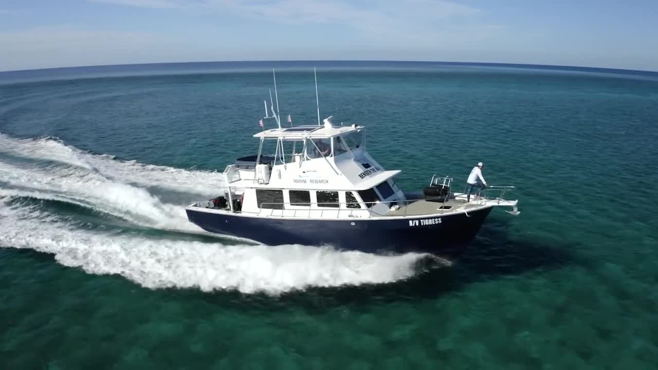
While scanning was being performed by air, the Beneath The Waves Marine Research Vessel was conducting complementary research with divers doing seagrass coring collection. Hexagon engineers also gathered luminosity data and classified seagrass with marine sensors. During all of this, a processing team — both onsite and remote — worked around the clock to handle terabytes of data for categorization and mapping.
With the data captured by Hexagon’s bathymetric LiDAR solutions, researchers will determine the extent and composition of seagrass in the research area to document the Blue Carbon habitat for future monitoring. The discoveries from this pilot project have the potential to provide a deeper understanding of one of the world’s largest nature-based carbon sequestration systems as well as the Bahama Banks biodiversity linkage.
[Related content: See Hexagon’s corporate press release on this collaboration with Beneath The Waves and stay tuned at https://r-evolution.com/r-projects/oceans]


