Irmi Runkel, Managing Director from Geosystems GmbH, discusses the importance of reliable data. Learn how ERDAS IMAGINE Spatial Modeler is used to automatically detect and remove problem areas from data for accurate business intelligence.

Irmi Runkel, Managing Director from Geosystems GmbH, discusses the importance of reliable data. Learn how ERDAS IMAGINE Spatial Modeler is used to automatically detect and remove problem areas from data for accurate business intelligence.

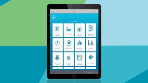
Find out how Xalt’s mobile and cloud technologies can accelerate your ability to harness data and extract its full potential.

Insights from Planetek Italia and Paramount Advanced Technologies about how the right location intelligence solutions can help aid national food security, infrastructure efforts, as well as marine and wildfire monitoring.

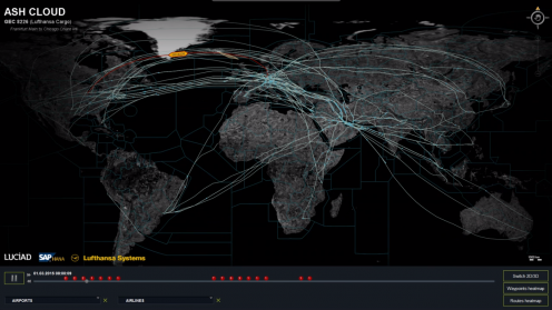
Smart digital reality supports the rapid fusion of the real and digital worlds, and delivers dynamic analytics on top of it.

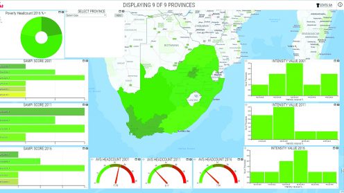
Statistics South Africa is using HxGN Smart Census as part of the organisation’s modernization strategy to move from paper-based to digital data collection.

Smart Census is a client-server software platform providing a total solution for each stage of the census cycle, from pre-enumeration mapping to digital enumeration to post-enumeration dynamic mapping.