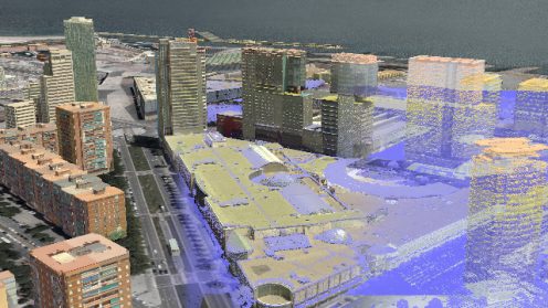
Olsson Associates has developed new relationships and breathed new life into its Land Survey practice by adding Leica Geosystems 3D Scanning and Aerial Photogrammetry technology into its solutions portfolio.

Olsson Associates has developed new relationships and breathed new life into its Land Survey practice by adding Leica Geosystems 3D Scanning and Aerial Photogrammetry technology into its solutions portfolio.
![[PODCAST]: Digital Realities Management](https://blog.hexagon.com/wp-content/uploads/2016/07/artworks-000171280748-001m1c-t500x500-496x279.jpg)
In today’s latest technology disruption, point clouds are forever in motion. Whether it’s capturing a crime scene, ensuring the most accurate BIM or preventing accidents in plants, laser scanning enables professionals to bring digital realities to life.

Alois Geierlehner, Director Business Development Geosystems, explains how Hexagon mine360 is connecting planning, operations, geodetic…

Active shooters and other critical incidents are all too prevalent these days. In this episode…

With its unique design, the Eye Film Museum in Amsterdam has become a modern marvel…

Hexagon Geospatial President Mladen Stojic talks about the changes he foresees in the geospatial industry this year. CloudComputing, Microsats, UAV, and the Hexagon SmartMApp top his list of things to watch.