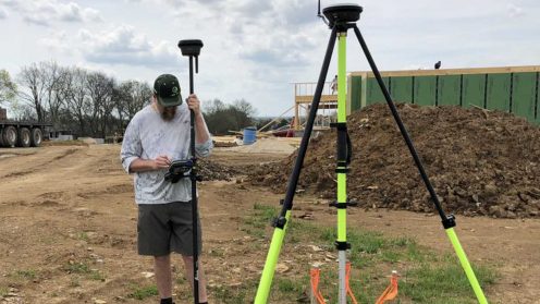
Jason Stivers shares how strategic technology investments keep his own company productive, efficient, successful and excited about the future.

Jason Stivers shares how strategic technology investments keep his own company productive, efficient, successful and excited about the future.

Leica Geosystems’ Business Director, UAV, Valentin Fuchs and Kevin Hanson, Senior Product Manager, Infinity discuss what matters when collecting data with a UAV.

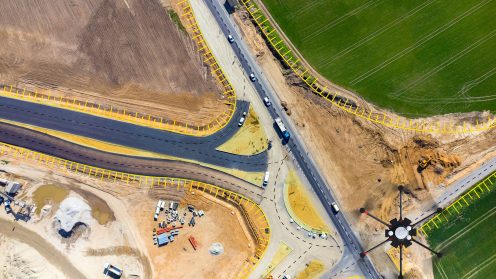
The Fourth Industrial Revolution has brought about the advent of Digital Construction – improving construction operations and processes with digital solutions.

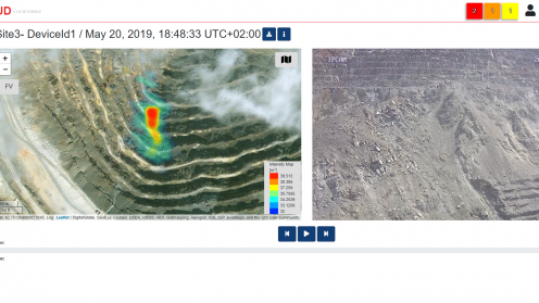
GeoCloud web-based application that can be accessed from everywhere. Optimised for mobile devices, it gives you immediate access to important data on rockfall, avalanche, and debris-flow events. In this session, Francesco Coppi, IDS GeoRadar Product Manager, illustrates how all integrated data and relevant statistics are visualised on a common platform, and how users can set different levels of data access.

See how Leica’s DSX utility detection solution is adding efficiency and digitalising workflows. Unlike any other GPR, the DSX utility maximises productivity with edge software that automates data analysis and generates a 3D utility map on the field.

The use of Ground Penetrating Radar (GPR) technology has been limited to highly skilled professionals trained on interpreting radargrams. The new Leica DSX utility detection solution is changing this by bringing GPR technology to less experienced users. Agata Fischer, Business Director of Detection and Services at Leica Geosystems, explains how this technology is boosting efficiency, as well as digitalising workflows for mapping and utility location.