Public safety agencies are answering the call with assistive AI tools that protect citizens, support first responders and help the community.

Public safety agencies are answering the call with assistive AI tools that protect citizens, support first responders and help the community.

Location intelligence is about more than maps. In addition to tracking new coronavirus cases, authorities are also providing more granular data to help us navigate the pandemic.

In this episode of HxGN Radio, we explain the progress being made in harmonising hardware and software in the mining industry to automate workflows, optimise haulage and blending, and deliver situational awareness.

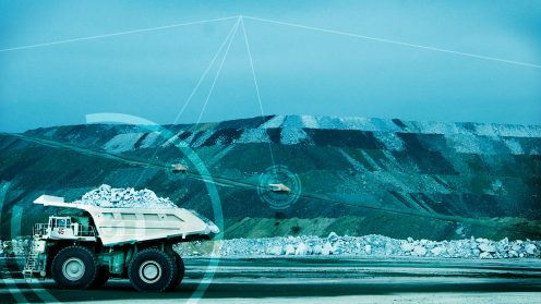
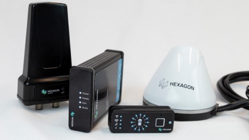
Noise, distraction, busy traffic and poor visibility will always mean that mining is potentially dangerous but improvements to Hexagon’s collision avoidance system (CAS) continue to minimize those risks.

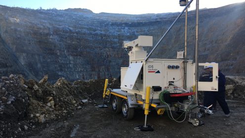
Integration between IDS GeoRadar and Hexagon’s MineProtect portfolio now connects systems for safety and radar-based slope stability hazards.

With customers controlling 90% of flights worldwide, Frequentis AG is putting data to work to guarantee safe operations for air traffic controllers worldwide.