Learn about challenges the aviation industry is facing today and what solutions are being used…

Learn about challenges the aviation industry is facing today and what solutions are being used…

Irmi Runkel, Managing Director from Geosystems GmbH, discusses the importance of reliable data. Learn how ERDAS IMAGINE Spatial Modeler is used to automatically detect and remove problem areas from data for accurate business intelligence.

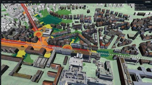
Smart Cities are digital, connected and always safe. A truly “Smart City” is a lofty goal, but it can be achieved by living smart today with an eye on tomorrow.

Developed with Luciad’s Desktop solution, LuciadLightspeed, the solution facilitates real-time integration and editing of mapping sensor data, which is a critical component of the GeoFOCIS system.

Insights from Planetek Italia and Paramount Advanced Technologies about how the right location intelligence solutions can help aid national food security, infrastructure efforts, as well as marine and wildfire monitoring.

Insights from IMAGEM, Zeteky, and City of Edmonton about how the latest geospatial and real-time reporting software can help create safer and more energy-efficient Smart Cities.