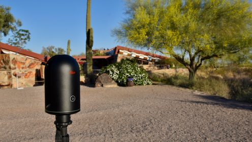
In honor of Mr. Wright’s 153rd birthday, we celebrate his legacy through an immersive tour brought to life by 3D image scanning technology.

In honor of Mr. Wright’s 153rd birthday, we celebrate his legacy through an immersive tour brought to life by 3D image scanning technology.

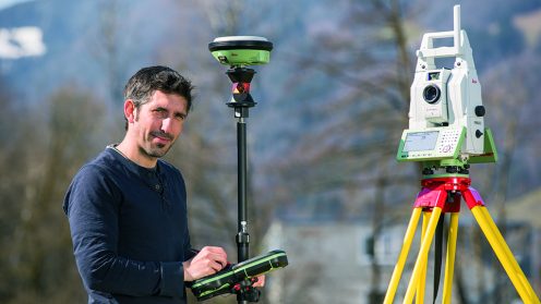
Today’s surveyors are more than just surveyors. In this episode, we speak with Craig Hill from Leica Geosystems to discuss the ever-evolving nature of the profession.

Irmi Runkel, Managing Director from Geosystems GmbH, discusses the importance of reliable data. Learn how ERDAS IMAGINE Spatial Modeler is used to automatically detect and remove problem areas from data for accurate business intelligence.

BK: Insights from Hexagon Geospatial product line director of M.App X, about how Hexagon Geospatial…

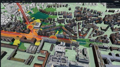
Developed with Luciad’s Desktop solution, LuciadLightspeed, the solution facilitates real-time integration and editing of mapping sensor data, which is a critical component of the GeoFOCIS system.

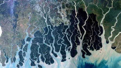
Insights from Planetek Italia and Paramount Advanced Technologies about how the right location intelligence solutions can help aid national food security, infrastructure efforts, as well as marine and wildfire monitoring.