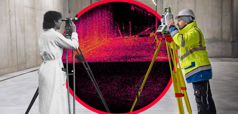
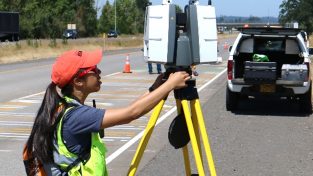
From roads to buildings, from bridges to industrial plants, and everything in between, surveying is a vital need in today’s modernised and globalised world. Hexagon’s technology is putting data to work for pure surveying that achieves the most accurate measurements that shape and build a better world.
Hexagon’s roots in survey date back 200 years ago with the founding of Kern & Co. in 1819. A hundred years later, in Heerbrugg, Switzerland, Heinrich Wild developed the T2, the world’s first portable opto-mechanical theodolite, building the foundation of modern surveying. Leica Geosystems and Hexagon have carried on the legacy of the T2 with numerous innovations that have shaped modern surveying, from the world’s first aerial camera to the world’s first miniaturized imaging laser scanner, and many more.
This legacy of Swiss innovation and dedication to quality is reflected today in our portfolio of connected solutions. These innovations support professionals to increase their productivity, improve workflows and provide richer valuable deliverables. For the past 17 years, I’ve been honoured to be part of this mission. I am eager to keep imagining how to push boundaries of geospatial technology to put data to work.
We will continue to lead the surveying industry with accurate instruments, sophisticated software, and trusted services, to help surveyors be faster and innovate workflows to meet client’s needs with fewer resources and higher-quality deliverables.
As we look toward the future, 2020 has been an unusual year to mark our 200th anniversary. And for the first time, INTERGEO — the world’s largest event for mapping and surveying professionals — will be held digitally. Every year, we look forward to this opportunity to meet with you to share stories and learn what is important to surveyors in the field and office.
While we won’t have the chance to make that connection in person, we do hope that you join us for the digital conference. These times have not changed our commitment to solving customer challenges, which are the starting point in every development project we have. For example, it has been a challenge to efficiently and safely measure points of interest that don’t have a direct view of the sky or points that are in inaccessible or hard-to-reach areas. With our latest release, sensor fusion of GNSS, IMU and a camera come together to create Visual Positioning technology, resulting in a GNSS RTK rover so powerful that it enables you to measure what you see — the Leica GS18 I.
Being at the forefront of innovation goes beyond introducing new technology. We are not only dedicated to technology innovation but also to moving your business forward. Embracing digitalisation can support business to create new opportunities, stay competitive and improve productivity. We empower surveying service providers around the world to grow their business through the expansion of their services and improvement of their workflows with the latest surveying technology.
Though it may look different than previous years, we are honoured to connect with surveyors at INTERGEO 2020 digitally. Please join us so we can learn from you and continue to support youwith a comprehensive portfolio of digital solutions that capture, measure and visualise the physical world, enabling a truly data-driven transformation for your businesses.
Learn more about how Hexagon is putting your data to work through pure surveying and much more at INTERGEO 2020 Digital.


