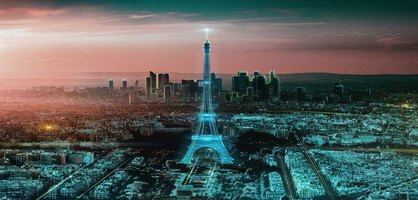
On the list of superpowers people wish they had, the ability to see into the future is a common one. Yet when it comes to projects for building construction, infrastructure and city planning, seeing into the future is not a wish. It’s a necessity. With the ability to access high-quality 3D data and visualise projects in Smart Digital Realities™, we can better understand current environments and envision the future of our towns, cities and communities.
Imagine the future
Digital realities massively increase the ability to test and learn before putting a shovel in the ground or taking a sledgehammer to a wall. For example, architects, general contractors, real estate agents and others must sell their clients visions of a better future to succeed. With more direct access to 3D data (terrestrial, aerial, and satellite) and 3D models, their customers can see their dreams come to life before the work even starts.
We’ve all seen or experienced a building or infrastructure project that wasn’t quite right. Imagine a house addition that blocked a perfect sight line to a beautiful sunset or highway overpass that just blocked out sunlight altogether. What if you could test where the sun is at any given point in the day to model that and make the correct decisions?
With access to a visualisation platform where architects, engineers, and construction professionals can place and view a building model to see if it fits into a certain location, adheres to building codes, or meets certain environmental conditions, these issues can be solved.
Envision your community
3D data modeling with complete digital replicas of the physical world has implications beyond improving workflows for individual projects. As a personal example, my local government is working on a new redevelopment master plan for our downtown business district. Doing their due diligence, they sent out a survey in PowerPoint with renderings and asked us which we liked.
PowerPoint renderings are better than no visualisation at all, but if those ideas were presented in an interactive 3D model where we could see that model in a real-world context, we wouldn’t have to imagine what it could look like. We’d be able to check it out from every angle with exact dimensions and visuals, including its impact on surrounding structures and spaces. We would know what it will look like, and we’d gain the ability to make more thoughtful, informed decisions about our communities.
When tragedy strikes
No one likes to think about disasters and emergencies, but the reality is that many people who work in public safety, national defense, and disaster management must do that on an everyday basis. It’s their job not to just think about it, but to plan for it. The ability to map a better emergency route, simulate sea level rise and understand — in real-time or simulated real-time — imminent threats to safety and security is invaluable. Smart Digital Realities that leverage high-definition 3D mapping data can give us insight into what was, what is, what could be, what should be, and ultimately, what will be.
CES is best known as a launching pad for consumer technologies that promise to fulfill our wildest dreams. Most of these cool gadgets can only get us so far in fulfilling our natural curiosity — which is quickly becoming a necessity — to envision a better future and take concrete steps to build it ourselves. Hexagon will be announcing a new platform at CES 2020 that allows us to follow this curiosity and provides the tools to realize these dreams for our homes, towns, cities and communities.


