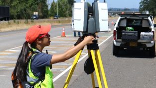
Cities around the globe are challenged by the ever-growing quantity of urban citizens in order to ensure sustainable urban development. Mapping cities and other urban spaces seems like a complex task for data capture, representation and visualization. The past few years has been a constant upgradation in the best available technology for these projects. With four years of experience in mobile LiDAR technology, Alatgi Prashant discusses how Leica Pegasus:Two and BLK2GO secure fast data capture for the generation of base maps for the company’s smart city projects.
HxGN TVVideo


