There are more than 25,000 professional drone operators in the U.S., France, UK and Canada, well over 800 in Germany, and more than 2,000 in Norway – UAVs (Unmanned Aerial Vehicles) and drones are part of the ecosystem in various industrial sectors. Who are the users, where are the advantages and what hurdles are still to be overcome? This blog post will answer some of these questions.
UAVs are part of the daily business of many professional engineering companies. The Gartner Hype Cycle from 2016 sees commercial drones in the “Innovation” area but for many users, UAVs are already a common vehicle to get sensors up in the air.
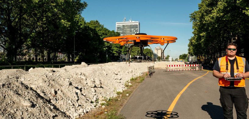
Leica Geosystem’s Aibot X6 of Aibotix GmbH, a hexocopter, combines exactly what professional operators need: a vertically launching and thus very mobile drone, highly accurate GPS, RTK and GNSS sensors as well as the excellent optics of Zeiss and Sony and a professional software, Aibotix AiProFlight, for flight planning and execution. According to Drone Industry Insights, a specialized market research company from Hamburg, Germany, those who use drones for surveying and inspection are well represented in the field of professional operators. 40% of professional European UAV operators use the “flying tripod” for inspection tasks, 33% for surveying. These two application areas are also the ones that are growing the fastest. A detailed analysis of the current UAV customer and operator landscape shows that 93% of European professional service companies offering UAV services are privately owned and that 50% of them have been in the market for seven years or less. The average annual growth rate of these companies is 170%. These facts confirm the aforementioned establishment of UAVs in some areas, but also show the opportunities for professional service providers.
With UAVs, the workflows of a surveying engineer or construction site manager have significantly changed regarding data generation and analysis. In the past, data and information were generated manually, but now 95% of those activities are now at least partially automated. In a classical surveying project with UAVs, 5% of the time required is for planning and producing the final results, 30% of it for the actual flight performance and 60% for data processing. That last area is an especially tricky hurdle to maintaining real-time information. However, with the help of cloud services, this time can be significantly reduced. For this, the expansion of fast networks (LTE and 5G) is a must.
During many customer projects, it was proven that the price difference for a construction company which delegates the surveying and monitoring of a major construction site to a UAV service provider is about 50% compared to a conventional service provider. What is more decisive, however, is that the corresponding service provider only needs about 10% of the time to deliver the desired results. The big advantage from an economical perspective therefore arises at the service provider side.
We saw nearly the same results for UAV inspection services. UAVs help to reduce costs associated with helicopters, industrial climbers, downtime and complex scaffolding. For example, we saw cost reduction in an area of the inspection of a section of a high-voltage power line from 6,000 USD to 350 USD.
UAVs are a game changer in the field of inspection, monitoring and surveying. UAVs help to speed up the automation and digitization of workflows and are part of a forward-looking business strategy.
Implementing new technologies to reduce costs and increase productivity? Now that’s smart change.
Regards,


